Anantnag, traditionally known as the gateway to the Kashmir Valley, is one of the oldest and most strategically positioned districts in the Union Territory of Jammu and Kashmir. Geographically situated between 33°-20′ to 34°-15′ North latitude and 74°–30′ to 75°–35′ East longitude, the district spans an official geographical area of 3,574 square kilometres. It is bounded on the north and northwest by Anantnag and Pulwama districts, on the northeast by Kargil, on the east and southeast by Kishtwar and Doda, and on the southwest by Ramban and Kulgam.
Perched at an average elevation of 1,600 metres (5,300 feet) above sea level, Anantnag’s terrain features a broad mid-mountain valley flanked by the striking Pir Panjal range to its south. The district boasts the highest number of streams and perennial springs in the region. The Lidder River, taking its origin from Sheshnag Lake, is the primary hydrological lifeline, irrigating the largest portion of the district's arable land alongside other major streams like the Sandran, Brengi, and Arpath. The climate is classified as a moderate temperate type, featuring lush, mild summers where July temperatures average around 28°C, and cold winters where temperatures frequently dip below freezing.
Population and Demographics
According to the official Census data, Anantnag is the third most populous district in Jammu and Kashmir. The demographic breakdown reveals a population heavily rooted in agrarian and rural settings:
Total Population: 1,078,692 souls comprising approximately 153,640 households.
Gender Distribution: 559,767 males and 518,925 females.
Sex Ratio: 927 females per 1,000 males, which stands notably higher than the overall Jammu & Kashmir regional average of 883.
Rural vs. Urban Split: The population structure is highly rural, with 73.77% (795,805 people) living in rural villages, while 26.23% (282,887 people) reside in urban spaces.
Literacy Rate: The district records a total literacy rate of 64.32%, with a gender gap showing 71.97% literacy in urban sectors compared to lower rates across rural belts.
Administrative Setup: For governance and development planning, the district is organized into 4 Subdivisions (Bijbehara, Kokernag, Dooru, and Pahalgam), 12 Tehsils, 16 Community Development (CD) Blocks, and 395 revenue villages overseen by 355 Panchayats.
Agriculture
Agriculture serves as the economic backbone for nearly three-quarters of Anantnag’s population. Out of the district’s reported land area, the Net Area Sown stands at 45,292 hectares, with a highly effective irrigation system bringing the Net Irrigated Area to 28,555 hectares (primarily fed by an intricate network of local canals).
The district follows a strict two-season cropping pattern:
Kharif Season (April–September)
Paddy (Rice): Dominates the valley basin, covering 24,500 hectares. Anantnag is globally celebrated for its niche organic clusters producing the heritage, highly aromatic Mushkabudji rice.
Maize: Cultivated primarily across the hilly, rain-fed terraces, spanning 14,920 hectares.
Other Crops: Pulses occupy 1,689 hectares, while summer vegetables utilize 4,117 hectares.
Rabi Season (October–March)
Oilseeds: Lead winter cultivation with 17,600 hectares dedicated mainly to mustard seeds.
Fodder & Winter Vegetables: Fodder crops cover 8,820 hectares to maintain livestock health through the frozen winter months, while winter vegetables cover 3,210 hectares.
Horticulture
Horticulture acts as a massive commercial engine, generating high cash returns and export value. Anantnag holds the distinction of having the largest land area dedicated to horticulture crops in the Kashmir Valley, spanning 31,858 hectares.
The district yields an annual fruit production exceeding 310,674 Metric Tonnes (MT).
Principal Fruits and Nuts
Apple: The primary commercial crop. Due to high-density plantation schemes introduced under recent agricultural visions, standard paddy fields are steadily being converted into lucrative high-density apple orchards to maximize regional returns.
Walnut: Anantnag is a frontline producer of premium-grade walnuts, grown extensively across foothills and upland slopes.
Stone Fruits: Substantial land blocks are dedicated to the production of high-yield varieties of pears, apricots, peaches, and cherries.
Other Allied Sectors
To insulate the rural economy against seasonal crop failures, allied livestock sectors are heavily integrated into the farming ecosystem. As per recent statistical records, the combined livestock, sheep, and poultry population in the district stands at an impressive 8.64 lakh heads.
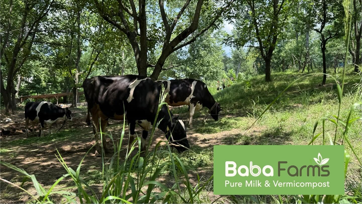
Animal Husbandry
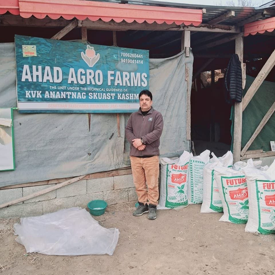
The district features a highly successful dairy cooperative structure. Through targeted departmental interventions, traditional bovine setups have transitioned toward high-yielding crossbred cows. This shift is supported by a robust network of veterinary clinics, artificial insemination centers, and designated "Milk Villages" aimed at achieving regional dairy self-reliance.
Sheep Husbandry
Given its close proximity to alpine pastures and extensive mountain forests (which comprise over 1,283 square kilometres of the district’s area), sheep rearing is highly favored. Supported by the District Anantnag Sheep Husbandry Department, the region regularly implements the Integrated Sheep Development Scheme (ISDS). This initiative funds commercial ewe units, introduces mechanical shearing facilities, and builds resilient income models for tribal populations, marginal farmers, and unemployed youth.